


In a grant project focused on levee setbacks, UGA scientists are filling a critical gap in biodiversity benefit assessment for USACE.
NASA recently awarded $600,000 to a project spearheaded by University of Georgia scientists Charles van Rees and Seth Wenger. The project, funded by a Research Opportunities in Space and Earth Science (ROSES) Ecological Conservation grant, will leverage satellite imagery, artificial intelligence and automated recording units to produce predictive models that can estimate the biodiversity benefits of floodplain restorations along the Mississippi-Missouri river system.
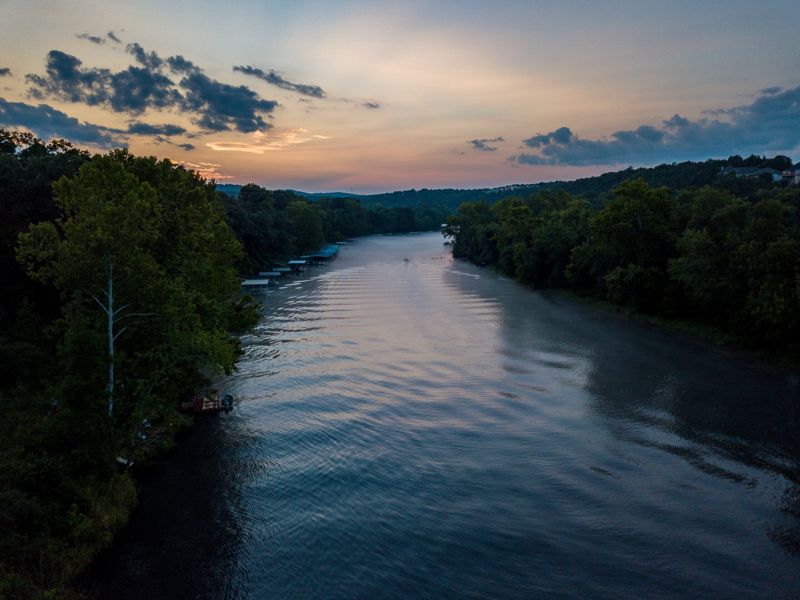
The project addresses a need for the U.S. Army Corp of Engineers (USACE) to better understand biodiversity and ecosystem services in its decision-making on levee setbacks—a kind of natural infrastructure or nature-based solution that reconnects rivers with their floodplains.
“Governments, industry, and NGO’s all over the world are getting excited about nature-based solutions as a ‘win-win’ for climate adaptation and biodiversity conservation. But no one has really paid enough attention to the ‘nature’ part,” said van Rees, an assistant research scientist at the Odum School of Ecology. “We understand better every year how much restored and artificial ecosystems provide for us, but much less about how these systems we’re developing can support wildlife. Our goal is to start answering those types of questions for levee setbacks along the Missouri.”
While USACE uses a systematic benefit-cost approach to make choices concerning natural infrastructure, it can’t thoroughly consider the diverse ecosystem services provided by setbacks unless it has a way to accurately assess them. The potential biodiversity conservation benefits of individual projects are among the least understood. The team will provide the tools to project conservation benefits to important, at-risk taxa like declining bats and migratory songbirds through their research.
They’ll gather field data on frogs, bats, birds and floodplain vegetation using LiDAR, field surveys, and recording devices that can detect bat echolocation and singing frogs and birds. The team will then design predictive models by combining this data with flood simulations and imagery from remote sensing technology.
The resulting tools will estimate the impact of levee setbacks designed for flood risk reduction and long-term levee reliability on biodiversity objectives, including improving habitat for declining species.
The researchers plan to validate their models using on-site measurements and data gathered by the community. The project’s primary model will also apply to conservation benefits for endangered fish—and species of cultural importance to indigenous communities.
“Our team will be making use of some great new resources from NASA, including information on vegetation structure from LiDAR, and leveraging cutting edge applications in artificial intelligence,” explained van Rees.
A collaboration between OSE’s River Basin Center—where Wenger serves as director of science—and the Institute for Resilient Infrastructure Systems (IRIS), the work includes partners across UGA, at USACE, the University of South Dakota and the University of Missouri, and stems from ongoing collaborations facilitated by the Network for Engineering with Nature.