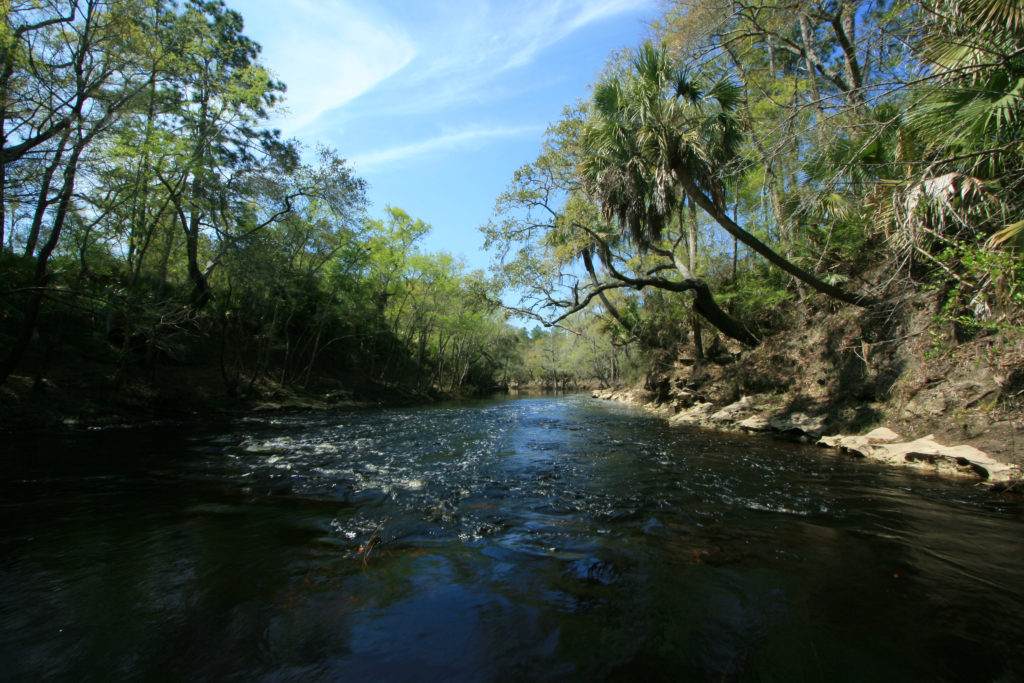
The Ochlockonee River originates in southwest Georgia and flows through Florida to the Gulf of Mexico, draining 6330 square miles along the way. The basin is grouped with the Aucilla River and Wards Creek– two smaller, separate watersheds that discharge independently into the Gulf. The river has been named several times for its yellow appearance, first by the Hitchiti (Muscogee/Creek) people, then again by the Spanish. The river supplies organic matter to the Ochlockonee Bay estuary, which serves as nursery grounds for commercially-important marine species. Continue exploring the Ochlockonee below.
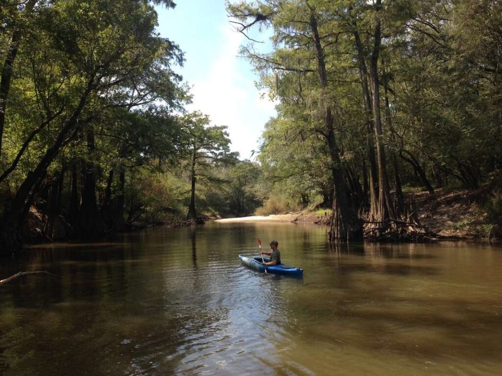
Photo by Alan Cressler via Flickr. Location: Aucilla River, Aucilla Wildlife Management Area, Taylor and Jefferson Counties, Florida.
CONSERVATION
Learn more about the basin (including how you can get involved in its conservation) through Georgia Rivers atOchlockonee River Water Trail, Inc.
View USGS data on the Ochlockonee River observational site.
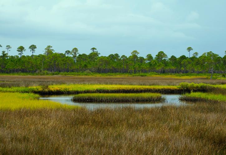
Photo via FloridaStateParks.org. Location: Bald Point State Park, Florida.
RECREATION
Visit Ochlockonee River State Park and “experience a wild Florida river and one of the best-preserved Longleaf Pine forests in the world,” or pop across the river to visit Bald Point State Park for a beach day.